
| Taylor
Lake Home |
Maps, Charts and Lake Photos |
Click on an image for a larger view and information about the image. Images marked (pdf) are Adobe Acrobat files and will open the Acrobat Reader. |
| |
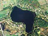
Aerial Photo |
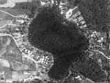
Space Photo |
Boundary Map (pdf) |
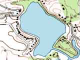
Topographic Map |
|
|
|
|
|
|
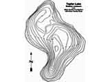
| Depth Chart (pdf) |
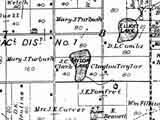
1837 |
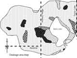
Watershed Area Map |
||
|
|
|
|
||