Maps, Charts, Lake Photos
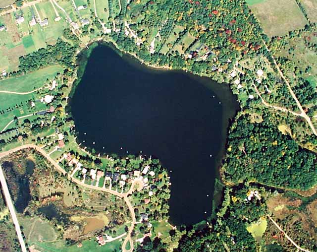
Hickory Ridge is the straight road at the lower-left (southwest).
Pellett is also at the lower-left, curving around the shoreline, with the Pellett Court loop in the middle, and then ending at the second loop.
Just a little of Bone Road is at the upper-left (northwest).
Taylor Lake Road is the straight road at the upper-right (northeast).
Tannock Drive is at the center-right.
Copyright (c) 1993 Aerial Graphics
Custom reprints of this photo are available. Click
on Aerial Graphics link
for more information.